-40%
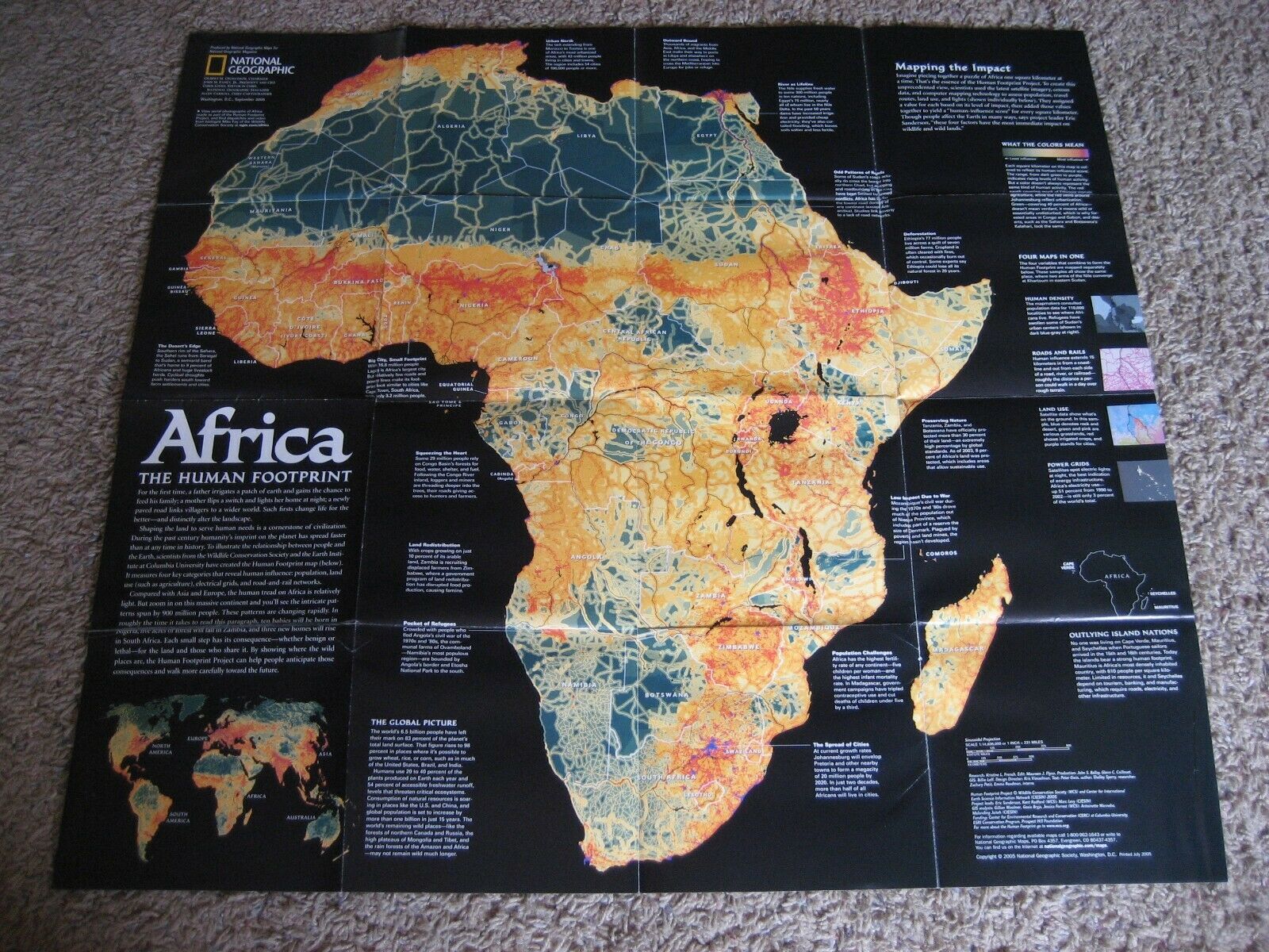
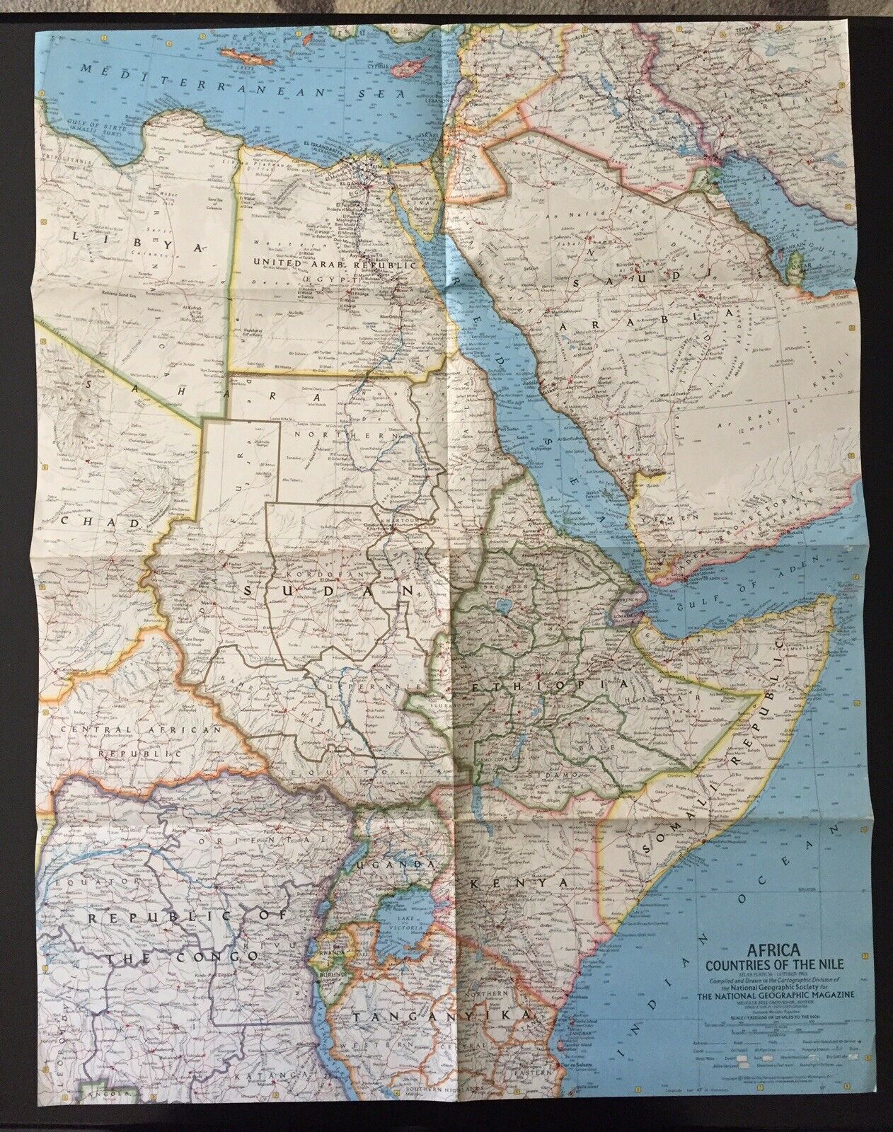
NOS Vintage 1980 AFRICA National Geographic Map; POLITICAL DEVELOPMENT; History
$ 2.63
- Description
- Size Guide
Description
NOS (New Old Stock) Vintage 1980 "AFRICA" National Geographic Map; POLITICAL DEVELOPMENT; History InformationWonderful Map - Poster for School or Community Teaching.
Map Only! NO MAGAZINE INCLUDED!
Map - Poster measures 29 1/4" x 22 3/4"
Includes 1980 Map of Africa
Countries of Africa - also some of Europe and Asia - please view the pictures in place in 1980
Insets of:
Madeira Islands
Equatorial Guinea
Canary Islands
Cape Verde
Sao Tome and Principe
Reunion
Mauritius
Rodrigues
Seychellles
Comoros
Opposite side "AFRICA: IT'S POLITICAL DEVELOPMENT"
1570 Map
Kingdoms and Empires
European Exploration
The Road to Independence
1914 - 1939 Map Comparison
Comes from non smoking, pet free home. Please email me with any questions.


